Charlotte Crime Map — Live CMPD Incidents
Charlotte, North Carolina, United States
In the last 24 hours CityAlert recorded 351 incident records near Charlotte — 14 occurred within the last day (infra); the rest are older records arriving from delayed sources. Sources: Charlotte-Mecklenburg PD incident data (open GIS), US National Weather Service alerts (NWS CAP).
Charlotte-Mecklenburg Police publishes incident data through the county's open GIS portal. CityAlert maps reported crimes across the Charlotte metro alongside Carolina severe storms, ice storms and tropical-system remnants.
Active incidents near Charlotte
Latest incident reported Oct 30, 23:35 UTC · feed data refreshed 11 min ago · page refreshes every ~10 min
Charlotte safety snapshot — last 30 days
A steady flow of reported incidents, some high severity. Counts cover reported incidents from the sources below, within the Charlotte map region — unverified community reports are excluded. This is a descriptive summary, not a safety score.
Home & environmental safety — Charlotte
ZIP 28202 — 74 Charlotte ZIPs with safety data. Water and environmental evidence from EPA SDWIS, ECHO, radon and lead records via ZipCheckup (CC BY 4.0). A snapshot of public records, not a disclosure — verify locally before decisions.
Latest incidents in Charlotte
- Murder · criticalOct 25, 04:00 UTC
- Road closure · highOct 29, 14:29 UTC
- Road closure · highOct 29, 14:18 UTC
- Simple Assault · highOct 29, 04:00 UTC
- Forcible Rape · highOct 29, 04:00 UTC
- Forcible Rape · highOct 29, 04:00 UTC
- Simple Assault · highOct 29, 04:00 UTC
- Forcible Rape · highOct 29, 04:00 UTC
- Simple Assault · highOct 29, 04:00 UTC
- Simple Assault · highOct 29, 04:00 UTC
- Simple Assault · highOct 29, 04:00 UTC
- Simple Assault · highOct 29, 04:00 UTC
Charlotte safety news
More Charlotte news →- Deadly car meet-up has police raising concerns about Charlotte teensWSOC-TV · Oct 29, 02:57 UTC
- CMS employee arrested for felony indecent liberties with a studentWSOC-TV · Oct 29, 02:17 UTC
- Silver Alert issued for missing 79-year-old Union County manWSOC-TV · Oct 29, 01:15 UTC
- ‘We don’t want to punish our young people’: CMPD chief explains Charlotte’s new teen curfewWCNC Charlotte · Oct 28, 22:56 UTC
- Rock Hill teachers become guardians after special needs student's mother dies tragic house fireWCNC Charlotte · Oct 28, 22:42 UTC
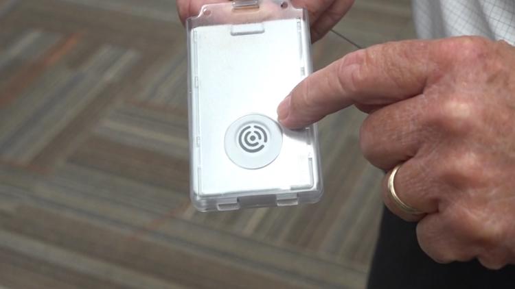
- York School District One gives more than 800 employees emergency alert badgesWCNC Charlotte · Oct 28, 22:42 UTC





Charlotte incident map FAQ
- How current is the Charlotte incident map?
- Refresh cycles vary by source — some Charlotte feeds are near-real-time dispatch logs, others publish every few hours or on a batch cycle. CityAlert re-checks sources continuously and this page regenerates every 10 minutes; individual incidents show their reported timestamps.
- Where does CityAlert's Charlotte data come from?
- This page is powered by: Charlotte-Mecklenburg PD incident data (open GIS), US National Weather Service alerts (NWS CAP) and GDACS global disaster alerts. Media-sourced incidents are approximate block-level locations and are labelled as such.
- Is Charlotte safe?
- CityAlert maps reported incidents and official alerts — it isn't a safety score and can't capture unreported crime. Use the live map and trends alongside official Charlotte statistics and local guidance for a complete picture.
- How many incidents were reported in Charlotte recently?
- In the last 30 days CityAlert recorded 1144 reported incidents in the Charlotte area — 181 high or critical severity (16%), led by 973 crime, 124 infra, 45 reports. This reflects reported incidents from the sources listed below, not a complete measure of safety.
Data sources for Charlotte
- Charlotte-Mecklenburg PD incident data (open GIS)
- US National Weather Service alerts (NWS CAP)
- GDACS global disaster alerts
Data refreshed 11 min ago.
Incidents update continuously — this page reflects the latest feed data. Media-sourced incidents are approximate block-level locations. Methodology & full source list
Use Charlotte incident data on your site
Local news sites, community forums, neighbourhood associations and real-estate blogs can drop the live Charlotte map straight into a page, or pull the same incidents into any feed reader. Both keep themselves current.
The embed carries a “Powered by CityAlert.live” credit. The Atom feed lists the 20 most recent Charlotte incidents.