Lima Safety Map — Live Incidents & Earthquake Alerts
Lima, Lima Province, Peru
In the last 24 hours CityAlert recorded 104 incident records near Lima — 21 occurred within the last day (crime, disaster); the rest are older records arriving from delayed sources. Sources: Lima media incident log (El Comercio, RPP), IGP & USGS earthquake feeds.
Now: overcast, 26.8°C, wind 15 km/h (gusts 46) · Open-Meteo
CityAlert geocodes safety reporting from El Comercio Lima and RPP into a live incident log for the metro, layered with IGP/USGS earthquake monitoring — the Peruvian coast is one of South America's most active seismic zones. Media-sourced locations are block-level approximations and labelled as such.
Active incidents near Lima
Latest incident reported Nov 22, 18:27 UTC · feed data refreshed 7 min ago · page refreshes every ~10 min
Lima safety snapshot — last 30 days
A large share of recent reports were high or critical severity. Counts cover reported incidents from the sources below, within the Lima map region — unverified community reports are excluded. This is a descriptive summary, not a safety score.
Latest incidents in Lima
- violent crime · criticalNov 21, 04:57 UTC
- violent crime · criticalNov 20, 19:13 UTC
- violent crime · criticalNov 20, 01:41 UTC
- incendio · criticalNov 19, 17:32 UTC
- violent crime · criticalNov 19, 12:20 UTC
- violent crime · criticalNov 19, 12:07 UTC
- violent crime · criticalNov 10, 17:36 UTC
- delito · criticalNov 10, 14:30 UTC
- colisión · criticalNov 7, 20:45 UTC
- colisión · criticalNov 4, 19:45 UTC
- violent crime · criticalOct 30, 20:55 UTC
- violent crime · criticalOct 28, 20:27 UTC
Lima safety news
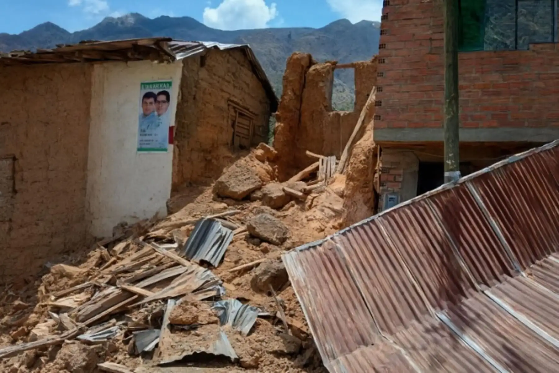
More Lima news →- Por fuerte sismo en Junín colapsó torre de iglesia del caserío de Paucalin en PascoAndina · Nov 22, 18:23 UTC
- Incendios forestales en Ucayali: Minam recuperará 1 000 hectáreas de bosques afectadosAndina · Nov 22, 16:10 UTC
Lima incident map FAQ
- How current is the Lima incident map?
- Refresh cycles vary by source — some Lima feeds are near-real-time dispatch logs, others publish every few hours or on a batch cycle. CityAlert re-checks sources continuously and this page regenerates every 10 minutes; individual incidents show their reported timestamps.
- Where does CityAlert's Lima data come from?
- This page is powered by: Lima media incident log (El Comercio, RPP), IGP & USGS earthquake feeds, GDACS global disaster alerts and Community-submitted reports. Media-sourced incidents are approximate block-level locations and are labelled as such.
- Is Lima safe?
- CityAlert maps reported incidents and official alerts — it isn't a safety score and can't capture unreported crime. Use the live map and trends alongside official Lima statistics and local guidance for a complete picture.
- How many incidents were reported in Lima recently?
- In the last 30 days CityAlert recorded 343 reported incidents in the Lima area — 99 high or critical severity (29%), led by 151 crime, 68 disaster, 59 infra. This reflects reported incidents from the sources listed below, not a complete measure of safety.
Data sources for Lima
- Lima media incident log (El Comercio, RPP)
- IGP & USGS earthquake feeds
- GDACS global disaster alerts
- Community-submitted reports
Data refreshed 7 min ago.
Incidents update continuously — this page reflects the latest feed data. Media-sourced incidents are approximate block-level locations. Methodology & full source list
Use Lima incident data on your site
Local news sites, community forums, neighbourhood associations and real-estate blogs can drop the live Lima map straight into a page, or pull the same incidents into any feed reader. Both keep themselves current.
The embed carries a “Powered by CityAlert.live” credit. The Atom feed lists the 20 most recent Lima incidents.