Kansas City Crime Map — Live KCPD Incidents
Kansas City, Missouri, United States
In the last 24 hours CityAlert recorded 123 incident records near Kansas City — 112 occurred within the last day (infra, reports); the rest are older records arriving from delayed sources. Sources: Kansas City MO PD incident data (KCMO Open Data / Socrata), CityProtect KC incident feed.
Kansas City, Missouri publishes police incident data through the city's Socrata open-data portal, supplemented by CityProtect KC reports. CityAlert maps both alongside tornado-alley severe weather — some of the most intense storm alerts in the country.
Active incidents near Kansas City
Latest incident reported Oct 31, 22:55 UTC · feed data refreshed just now · page refreshes every ~10 min
Kansas City safety snapshot — last 30 days
A steady flow of reported incidents, some high severity. Counts cover reported incidents from the sources below, within the Kansas City map region — unverified community reports are excluded. This is a descriptive summary, not a safety score.
Home & environmental safety — Kansas City
ZIP 64106 — 75 Kansas City ZIPs with safety data. Water and environmental evidence from EPA SDWIS, ECHO, radon and lead records via ZipCheckup (CC BY 4.0). A snapshot of public records, not a disclosure — verify locally before decisions.
Latest incidents in Kansas City
- Murder · criticalOct 22, 22:26 UTC
- Scheduled · highOct 30, 05:03 UTC
- Assault (Aggravated) · highOct 26, 04:42 UTC
- Assault (Aggravated) · highOct 26, 01:01 UTC
- Domestic Violence Assault (Aggravated) · highOct 25, 23:33 UTC
- Domestic Violence Assault (Non-Aggravated) · highOct 25, 22:52 UTC
- Domestic Violence Assault (Aggravated) · highOct 25, 22:16 UTC
- Domestic Violence Assault (Non-Aggravated) · highOct 25, 21:42 UTC
- Assault (Non-Aggravated) · highOct 25, 21:29 UTC
- Rape · highOct 25, 20:26 UTC
- Assault (Non-Aggravated) · highOct 25, 20:19 UTC
- City Weapons Offense · highOct 25, 19:57 UTC
Kansas City safety news
More Kansas City news →- T-shirt fundraiser held for family of fallen KCFD firefighterFOX4 Kansas City · Oct 29, 02:39 UTC
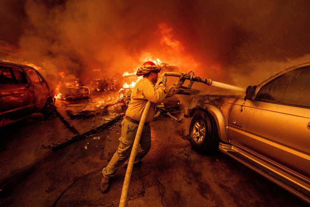
- Smoke from LA fires exposed millions of people to high levels of toxic heavy metals, study saysKMBC 9 News · Oct 29, 02:05 UTC

Kansas City incident map FAQ
- How current is the Kansas City incident map?
- Refresh cycles vary by source — some Kansas City feeds are near-real-time dispatch logs, others publish every few hours or on a batch cycle. CityAlert re-checks sources continuously and this page regenerates every 10 minutes; individual incidents show their reported timestamps.
- Where does CityAlert's Kansas City data come from?
- This page is powered by: Kansas City MO PD incident data (KCMO Open Data / Socrata), CityProtect KC incident feed, US National Weather Service alerts (NWS CAP) and NOAA Storm Prediction Center reports. Media-sourced incidents are approximate block-level locations and are labelled as such.
- Is Kansas City safe?
- CityAlert maps reported incidents and official alerts — it isn't a safety score and can't capture unreported crime. Use the live map and trends alongside official Kansas City statistics and local guidance for a complete picture.
- How many incidents were reported in Kansas City recently?
- In the last 30 days CityAlert recorded 901 reported incidents in the Kansas City area — 147 high or critical severity (16%), led by 529 crime, 352 infra, 19 reports. This reflects reported incidents from the sources listed below, not a complete measure of safety.
Data sources for Kansas City
- Kansas City MO PD incident data (KCMO Open Data / Socrata)
- CityProtect KC incident feed
- US National Weather Service alerts (NWS CAP)
- NOAA Storm Prediction Center reports
Data refreshed just now.
Incidents update continuously — this page reflects the latest feed data. Media-sourced incidents are approximate block-level locations. Methodology & full source list
Use Kansas City incident data on your site
Local news sites, community forums, neighbourhood associations and real-estate blogs can drop the live Kansas City map straight into a page, or pull the same incidents into any feed reader. Both keep themselves current.
The embed carries a “Powered by CityAlert.live” credit. The Atom feed lists the 20 most recent Kansas City incidents.