Florida Incident Map — Live Safety Alerts & Disasters
16 regional scopes inside Florida, United States
In the last 24 hours CityAlert recorded 3,466 incident records near Florida — 2203 occurred within the last day (crime, reports); the rest are older records arriving from delayed sources.
CityAlert plots reported incidents across Florida — police and emergency feeds, earthquakes, wildfires, floods and weather alerts — refreshed continuously and mapped live. 16 city and regional scopes cover Florida in detail; this page is the state-wide view.
Active incidents across Florida
Latest incident reported Nov 22, 20:03 UTC · feed data refreshed 1 min ago · page refreshes every ~5 min
Florida safety snapshot — last 30 days
A steady flow of reported incidents, some high severity. Counts cover reported incidents from the sources below, across all of Florida — unverified community reports are excluded. This is a descriptive summary, not a safety score.
Latest incidents in Florida
- ASSAULT AGGRAVATED W/ DEADLY WEAPON W/O INTENT TO KILL · criticalNov 21, 04:37 UTC
- ASSAULT AGGRAVATED W/ DEADLY WEAPON W/O INTENT TO KILL · criticalNov 20, 10:14 UTC
- collision · criticalNov 17, 07:48 UTC
- Fatal Injury · criticalNov 16, 00:00 UTC
- TRAFFIC CRASH - WITH INJURIES · highNov 22, 19:59 UTC
- TRAFFIC CRASH - NO INJURIES · highNov 22, 19:59 UTC
- TRAFFIC CRASH - WITH INJURIES · highNov 22, 19:59 UTC
- TRAFFIC CRASH - WITH INJURIES · highNov 22, 19:59 UTC
- FIRE ALARM · highNov 22, 19:52 UTC
- ASSAULT OR BATTERY - JUST OCCURRED · highNov 22, 08:54 UTC
- CARRY A CONCEALED FIREARM / WEAPON · highNov 22, 07:16 UTC
- TRAFFIC COLLISION (WITH INJURY) · highNov 22, 02:47 UTC
Regional maps in Florida
Florida safety news
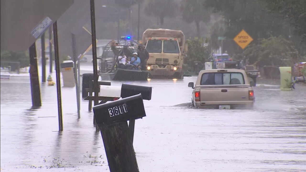
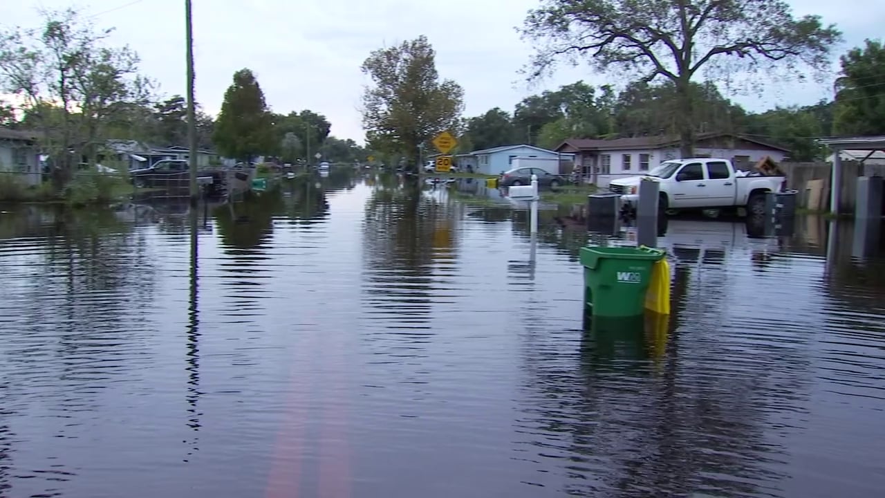
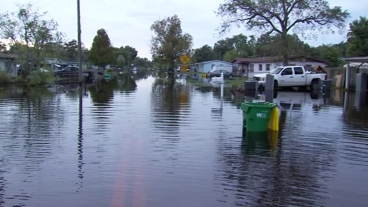
- Flagler County issues immediate idle speed and no-wake orders amid floodingWFTV Channel 9 · Nov 22, 17:29 UTC
- Four people arrested for burglary at vacant building on West New Haven AvenueWFTV Channel 9 · Nov 22, 17:11 UTC
- Daytona Beach residents encouraged to report flood damage via crisis portalWFTV Channel 9 · Nov 22, 15:58 UTC
- Orlando man dies in early Sunday morning crash on State Road 417WFTV Channel 9 · Nov 22, 15:02 UTC
- Flood waters keep Cocoa residents from returning homeWFTV Channel 9 · Nov 22, 04:31 UTC
- Missing 16-year-old girl from Clermont, according to deputiesWFTV Channel 9 · Nov 22, 04:03 UTC
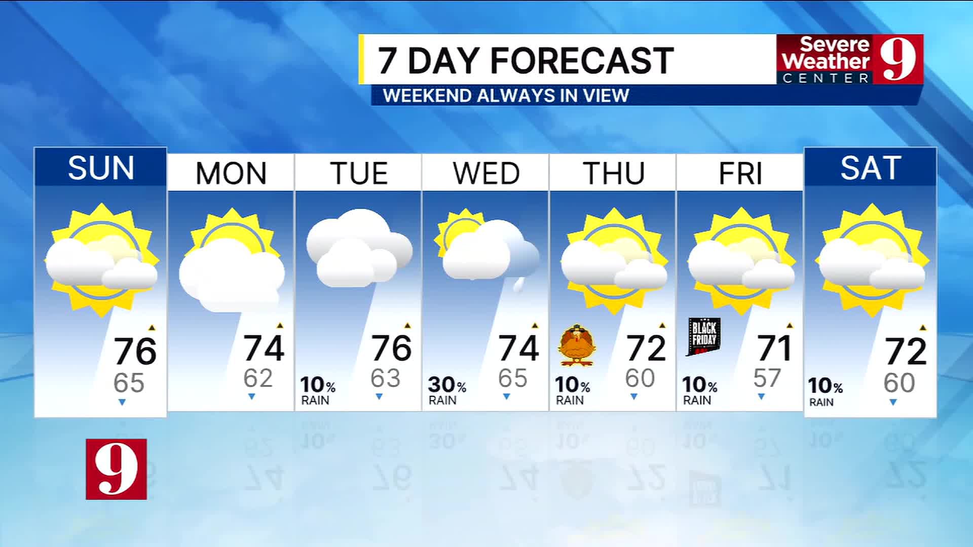
- Dry weather returns Sunday despite lingering flood risks on the St. JohnsWFTV Channel 9 · Nov 22, 02:28 UTC
- Lake Mary missing teenager near Thompson Road, found safe according to deputiesWFTV Channel 9 · Nov 22, 00:56 UTC




Florida incident map FAQ
- Is Florida safe right now?
- In the last 30 days CityAlert recorded 11726 reported incidents across Florida — 382 high or critical severity (3%), led by 5951 crime, 5152 reports, 574 infra. This reflects reported incidents from tracked sources, not a complete measure of safety.
- What data does the Florida map show?
- Reported incidents inside Florida, United States from 45 tracked sources — police and emergency feeds, earthquakes, wildfires, floods and weather alerts — refreshed continuously and mapped live.
- Which Florida cities are covered?
- CityAlert has dedicated regional scopes covering Florida: Citrus County, FL, Delray Beach, FL, Fort Pierce–St. Lucie, FL, Gainesville, FL, Jacksonville, FL, Key West, FL, Miami, FL, Naples–Collier Co., FL and 8 more — plus state-wide incident tagging.
- How often is Florida incident data updated?
- Feeds refresh on their own cycles — most sources update continuously or hourly, and this page re-renders about every 5 minutes with the latest pool.
Data sources for Florida
45 live sources currently contribute incidents in Florida — police and emergency feeds, hazard monitors and media scrapes.
Data refreshed 1 min ago.
Incidents update continuously — this page reflects the latest feed data. Media-sourced incidents are approximate block-level locations. Methodology & full source list
Use Florida incident data on your site
News sites, community forums and travel pages can drop the live Florida map straight into a page, or pull the same incidents into any feed reader. Both keep themselves current.