Pennsylvania Incident Map — Live Safety Alerts & Disasters
7 regional scopes inside Pennsylvania, United States
In the last 24 hours CityAlert recorded 870 incident records near Pennsylvania — 617 occurred within the last day (infra, health); the rest are older records arriving from delayed sources.
CityAlert plots reported incidents across Pennsylvania — police and emergency feeds, earthquakes, wildfires, floods and weather alerts — refreshed continuously and mapped live. 7 city and regional scopes cover Pennsylvania in detail; this page is the state-wide view.
Active incidents across Pennsylvania
Latest incident reported Nov 21, 11:38 UTC · feed data refreshed just now · page refreshes every ~5 min
Pennsylvania safety snapshot — last 30 days
A large share of recent reports were high or critical severity. Counts cover reported incidents from the sources below, across all of Pennsylvania — unverified community reports are excluded. This is a descriptive summary, not a safety score.
Latest incidents in Pennsylvania
- violent crime · criticalNov 6, 16:01 UTC
- 13A AGGRAVATED ASSAULT · criticalOct 26, 00:00 UTC
- 13A AGGRAVATED ASSAULT · criticalOct 15, 00:00 UTC
- 13A AGGRAVATED ASSAULT · criticalOct 2, 00:00 UTC
- VEHICLE ACCIDENT-CLASS 1 · highNov 21, 11:34 UTC
- TRAINING-FIRE · highNov 21, 11:32 UTC
- Major route incident · highNov 21, 11:27 UTC
- VEHICLE ACCIDENT-NO INJURIES · highNov 21, 11:12 UTC
- Major route incident · highNov 21, 10:54 UTC
- armed clash · highNov 21, 08:30 UTC
- I-295 northbound: Roadwork. · highNov 21, 01:00 UTC
- I-295 southbound: Roadwork. · highNov 21, 01:00 UTC
Regional maps in Pennsylvania
Pennsylvania safety news
- Driver gets life in prison for stolen U-Haul crash that killed UDel student6abc Philadelphia (WPVI) · Nov 21, 04:44 UTC
- Philly gears up for busy weekend with marathon, Eagles game and possible stormy weather6abc Philadelphia (WPVI) · Nov 21, 04:33 UTC
- Widow speaks after deadly New Castle crash: 'Somebody else's carelessness broke my family'6abc Philadelphia (WPVI) · Nov 21, 04:21 UTC
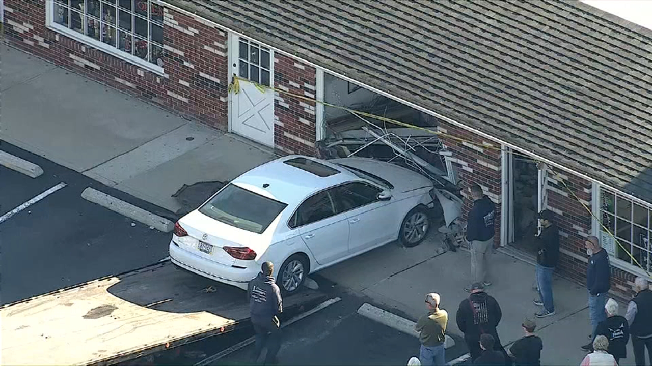
- Car crashes into building in Aston, Delaware County6abc Philadelphia (WPVI) · Nov 21, 03:40 UTC
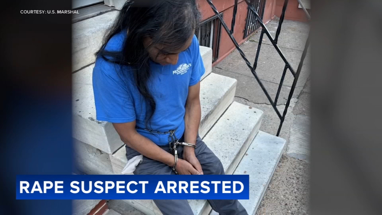
- Suspect wanted in alleged rape arrested in South Philly6abc Philadelphia (WPVI) · Nov 21, 02:22 UTC



Pennsylvania incident map FAQ
- Is Pennsylvania safe right now?
- In the last 30 days CityAlert recorded 1850 reported incidents across Pennsylvania — 434 high or critical severity (23%), led by 1221 crime, 585 infra, 18 reports. This reflects reported incidents from tracked sources, not a complete measure of safety.
- What data does the Pennsylvania map show?
- Reported incidents inside Pennsylvania, United States from 21 tracked sources — police and emergency feeds, earthquakes, wildfires, floods and weather alerts — refreshed continuously and mapped live.
- Which Pennsylvania cities are covered?
- CityAlert has dedicated regional scopes covering Pennsylvania: Allentown, PA, Erie, PA, Harrisburg, PA, Lancaster, PA, Philadelphia, PA, Pittsburgh, PA, Scranton, PA — plus state-wide incident tagging.
- How often is Pennsylvania incident data updated?
- Feeds refresh on their own cycles — most sources update continuously or hourly, and this page re-renders about every 5 minutes with the latest pool.
Data sources for Pennsylvania
21 live sources currently contribute incidents in Pennsylvania — police and emergency feeds, hazard monitors and media scrapes.
Data refreshed just now.
Incidents update continuously — this page reflects the latest feed data. Media-sourced incidents are approximate block-level locations. Methodology & full source list
Use Pennsylvania incident data on your site
News sites, community forums and travel pages can drop the live Pennsylvania map straight into a page, or pull the same incidents into any feed reader. Both keep themselves current.